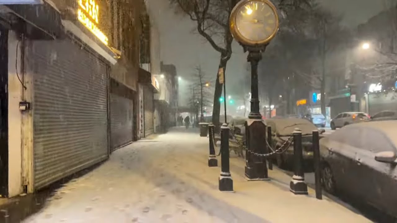
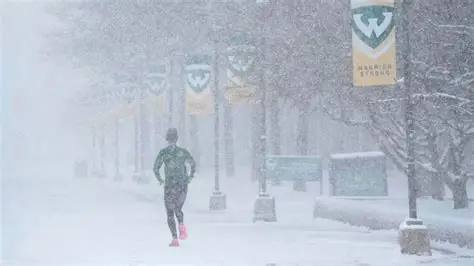
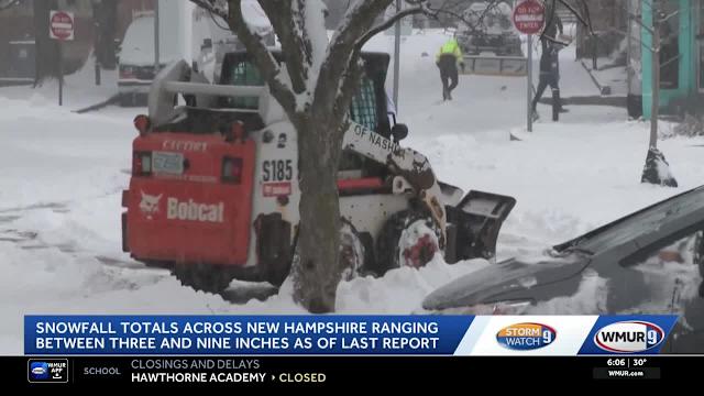
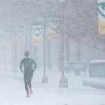
Central New York weather officials have updated winter weather advisories as a band of lake-effect snow moves into the region. Snowfall totals could reach as much as 6 to 7 inches in places, with the most significant snow falling Wednesday afternoon and evening.
The National Weather Service says the advisory covers parts of Onondaga, Madison, Oswego and nearby counties.
Forecasters say the snow could slow travel during the evening commute and into early Thursday.
Here’s what residents need to know about timing, impacts and what’s ahead.
CENTRAL NY SNOW ADVISORY: KEY FACTS
| Event | Winter Weather Advisory / Lake Effect Snow |
|---|---|
| Location | Central New York (including Onondaga, Oswego, Madison counties) |
| Date | Wednesday into early Thursday |
| Who Is Affected | Residents, drivers, schools, local services |
| Current Status | Advisory in effect; snow developing Wednesday |
| What Readers Should Know | Up to 7 inches of snow possible; heaviest this afternoon and evening |
BACKGROUND: WHY THIS SNOW MATTERS
Winter weather in Central New York often comes from lake effect snow — snow bands that form when cold air moves over warmer Lake Ontario waters. Forecasters say these bands can produce varied snow totals across short distances.
This advisory is the latest from the National Weather Service, following similar alerts in the region for higher snow totals in recent days.
The advisory runs through late tonight into Thursday morning, with snow developing midday Wednesday and continuing through the evening.

TIMELINE: HOW THE SNOW WILL PLAY OUT
Wednesday Morning
Snow begins to develop across western parts of Central New York. Early accumulations are light but steady.
Wednesday Afternoon
Lake-effect bands strengthen. Snowfall rates pick up. Most of the region will see steady accumulation by mid-afternoon.
Wednesday Evening
Forecasters say the heaviest snow is forecast during the afternoon into the evening hours — a common peak time for lake effect snow. This is when visibility could drop and travel slow.
Overnight into Thursday
Snow tapers off slowly. Some areas may see lingering light snow or flurries before the advisory expires Thursday morning.
OFFICIAL STATEMENTS
“The advisory highlights where snow will be most likely and heaviest,” said a National Weather Service spokesperson in Syracuse, summarizing the forecast. “Totals will vary locally, but residents should plan for accumulating snow Wednesday into the night.”
PUBLIC REACTION AND RESPONSE
Local public safety departments have urged motorists to slow down during snow bands and allow extra travel time. Early school and work commute hours could see slick roads, particularly in higher elevations and open rural areas.
Some residents near Lake Ontario posted updates on social media about snow banding already picking up by midday Wednesday. These firsthand reports align with the NWS forecast of heavier snow by late afternoon.
WHAT HAPPENS NEXT
After the advisory ends Thursday morning, weather models show generally colder, quiet conditions for the rest of the week, though more flurries or light snow showers can’t be ruled out.
Forecasters say to watch for any later advisories if the lake-effect bands persist or shift northward.
FAQ: CENTRAL NEW YORK SNOW ADVISORY
Q: What’s the difference between a winter weather advisory and a warning?
A: An advisory means conditions may cause inconvenience and require caution. A winter storm warning is issued when heavy snow or ice is expected and could significantly impact travel or safety.
Q: Which Central NY counties are included in this advisory?
A: The advisory covers Wayne, Northern Cayuga, Onondaga, Madison and Oswego counties.
Q: When is the heaviest snow expected?
A: Heaviest snowfall is forecast Wednesday afternoon into the evening hours.
Q: How much snow could fall?
A: Total snow accumulations could reach up to around 6 to 7 inches in parts of the advisory area.
Q: Will travel be affected?
A: Yes — road conditions may be slippery and visibility reduced during peak snow bands. Drivers should use caution.
Q: Does this snow impact power outages?
A: Snow amounts forecast are moderate and unlikely to cause widespread outages, though downed branches or local power issues are possible with weight on trees. (NWS general guidance)
Q: Is more snow likely after this event?
A: Weather models suggest colder, quieter weather afterward, with only light flurries possible later in the week.
CONCLUSION
A winter weather advisory is in effect for parts of Central New York through Thursday morning. Snowfall of several inches is likely, with the most significant accumulation from late Wednesday afternoon into the evening. Residents and travelers should be prepared for slippery roads and changing conditions.
Keep an eye on updated advisories from the National Weather Service as the event progresses.

Leave a Comment