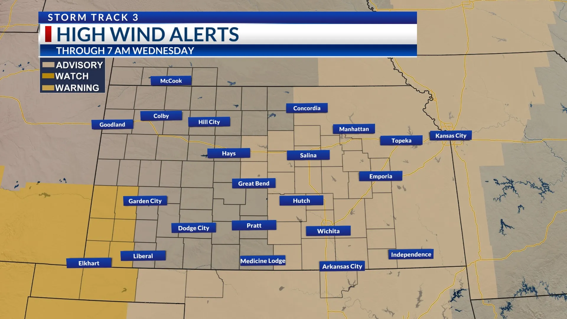
A weather alert remains in effect across parts of Kansas as forecasters warn of potentially severe storms moving through the region on Friday. Meteorologists say the system could bring hail, gusty winds, and rapidly changing conditions, particularly in central and eastern areas of the state. At the same time, dry and windy conditions are expected to increase wildfire risks in the southwest.
Multiple Rounds of Storms Expected
Weather experts are tracking a storm system that will move across Kansas in several phases throughout Friday. The first round of storms is forecast to arrive shortly after midnight, bringing rain, possible hail, and gusty winds to parts of the region during the early morning hours.
These initial storms could impact overnight travelers and early commuters, especially in areas where visibility may be reduced due to heavy rainfall. While not every location will experience severe conditions, meteorologists warn that isolated strong storms cannot be ruled out.
After the first wave passes, there may be a temporary break in activity before another round of storms develops later in the day. This second phase, expected during the evening hours, could once again bring thunderstorms capable of producing strong wind gusts and small hail.
Forecasters say the weather system should gradually move out of the region by late Friday night, allowing conditions to stabilize as the weekend approaches.
Central and Eastern Kansas in the Main Impact Zone
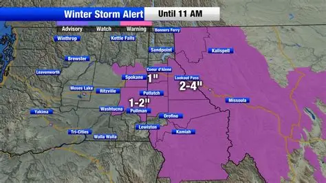
Although storms could affect multiple parts of the state, the greatest risk of severe weather is expected across central and eastern Kansas. Communities in these regions may experience the strongest thunderstorms as the system moves eastward during the day.
Meteorologists are closely monitoring atmospheric conditions, including temperature changes and moisture levels, which could influence the strength of individual storms. If the environment becomes more unstable, some storms could briefly intensify.
Residents in these areas are being advised to stay updated with weather forecasts and alerts throughout the day, as conditions could change quickly.
Fire Danger in Southwest Kansas
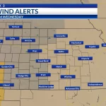
While thunderstorms dominate the forecast for much of the state, a different type of weather risk is developing in southwestern Kansas. Meteorologists warn that dry air, warm temperatures, and gusty winds could create conditions favorable for grassfires during the afternoon hours.
Wildfire risks increase when humidity levels drop and winds strengthen, allowing flames to spread rapidly across dry vegetation. Local authorities are urging residents in vulnerable areas to avoid activities that could accidentally start fires, such as burning debris or discarding lit cigarettes.
Fire departments and emergency officials are expected to remain on alert as weather conditions could allow fires to spread quickly if they ignite.
Wide Temperature Differences Across the State
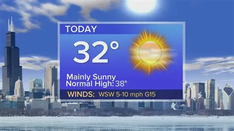
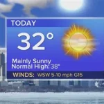
Friday’s weather pattern will also bring a noticeable difference in temperatures across Kansas. Cooler air will dominate the northwestern portion of the state, where daytime highs are expected to remain in the 40s.
Meanwhile, warmer conditions are forecast for central and eastern Kansas, where temperatures could climb into the 70s. This sharp contrast in temperatures is partly responsible for the unstable atmosphere that may help fuel thunderstorms later in the day.
Such variations are not uncommon in the central United States during seasonal transitions, when warm and cold air masses collide.
Authorities Urge Residents to Stay Prepared
With multiple weather threats expected throughout the day, meteorologists and emergency officials are encouraging residents to remain cautious and prepared. People are advised to monitor weather updates and ensure they have access to reliable alerts in case conditions worsen.
Drivers should also exercise caution during storms, as heavy rainfall and strong winds can create hazardous travel conditions. Sudden wind gusts may make driving difficult, particularly for larger vehicles on open highways.
In areas facing elevated wildfire risk, officials emphasize the importance of preventing accidental fires and reporting any signs of smoke immediately.
Conclusion
Kansas is set to experience a day of varied and potentially hazardous weather conditions on Friday. Thunderstorms capable of producing hail and strong winds are expected to move across central and eastern parts of the state, while southwestern regions face an increased threat of grassfires due to dry and windy conditions. Although the storm system is expected to clear the area by late Friday night, residents are urged to stay informed and prepared as changing weather patterns bring multiple risks throughout the day.

Leave a Comment